🛰️ AI and satellite imagery help journalists map illegal mines in the Amazon
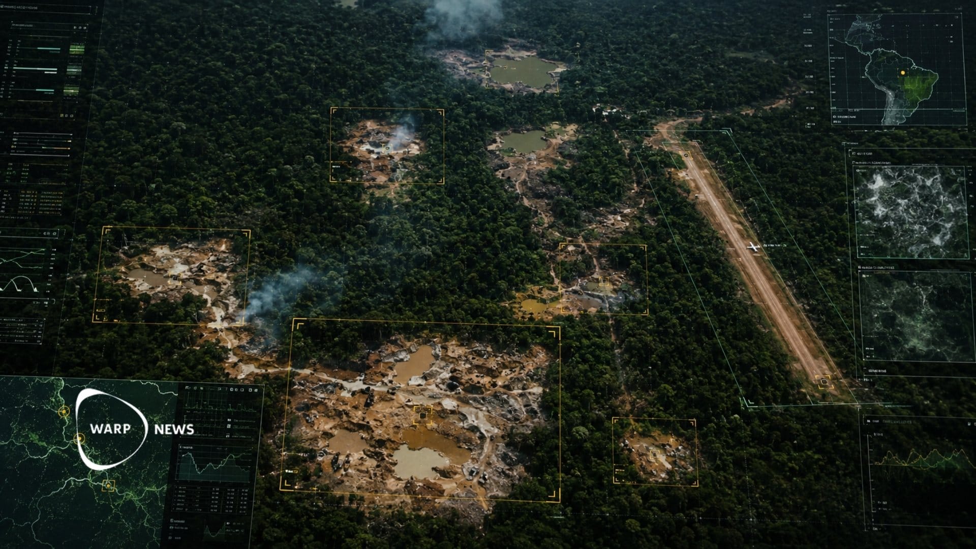
Machine learning analyzes satellite images covering more than 123 million acres of rainforest and identifies mining pits and airstrips. Venezuelan journalist Joseph Poliszuk has identified 3,718 gold mining sites. Some of the mines were located within protected indigenous lands.

Share this story!
- Machine learning analyzes satellite images covering more than 123 million acres of rainforest and identifies mining pits and airstrips.
- Venezuelan journalist Joseph Poliszuk has identified 3,718 gold mining sites. Some of the mines were located within protected indigenous lands.
- The Amazon Mining Watch platform now covers all nine countries in the Amazon Basin, and a corresponding service for Africa launches in July.
The technology that sees what is hidden from the ground
Satellite imagery has long been used by investigative journalists to examine conflict zones and remote areas. Now the images are being combined with machine learning that automates the analysis and makes it possible to examine vast areas. In environmental journalism, the technology is being used by South American reporters to map illegal mines, large-scale logging, and cattle ranching across the Amazon.
Joseph Poliszuk left Venezuela in 2018 after exposing corruption under President Nicolás Maduro. In exile, he began experimenting with satellite-based investigations. When illegal gold mining surged during the COVID-19 pandemic, he wanted to document the development, but manually going through images covering more than 123 million acres of rainforest was not feasible. With support from the Pulitzer Center's Rainforest Investigations Network fellowship and technical help from the nonprofit organization Earth Genome, he trained an AI model to recognize the scars of mining pits and the airstrips cut into the vegetation to transport minerals.
3,718 mines mapped in Venezuela
In January 2022, Poliszuk published his first article based on the model, in an El País series titled "Corredor Furtivo." He was able to identify 3,718 gold mining sites in the states of Amazonas and Bolívar. Some of the mines were located within protected indigenous lands and in Canaima National Park, home to the world's tallest waterfall, Angel Falls. By cross-referencing the maps with crime data from Venezuelan authorities, he could determine whether the mines were operated by Venezuelan syndicates, Colombian guerrilla groups, or Brazilian garimpeiros. The week after one of the articles was published, the Venezuelan military announced that it had bombed several illegal airstrips in the area.
That same year, Brazilian journalist Hyury Potter developed a similar project within the same fellowship program. He published several investigations in Intercept Brasil that identified hundreds of previously unreported airstrips in the Brazilian Amazon. The New York Times published its own investigation based on the same analysis, in collaboration with Potter and the Pulitzer Center.
Amazon Mining Watch covers nine countries
In 2022, the Pulitzer Center, Earth Genome, and the nonprofit organization Amazon Conservation launched the Amazon Mining Watch platform. It uses machine learning to map mining activity in all nine countries that make up the Amazon Basin. The first models were trained for specific tasks, but Earth Genome is now working with larger foundation models trained on satellite imagery, radar, land cover data, and elevation data.
According to Edward Boyda, physicist and co-founder of Earth Genome, such a model can be adapted with only a few examples from the user to recognize different objects on the Earth's surface.
A corresponding platform for Africa
The Pulitzer Center and Earth Genome are now partnering with the nonprofit organization Code for Africa to build Africa Mining Watch. The platform will map mining activity in the tropical belt, which includes the Congo Basin, the world's second-largest tropical rainforest. It launches publicly in July. On Earth Day in April, 25 journalists from across Africa took part in a seven-hour virtual mapathon to test the platform.
Earth Genome is also developing its own tool, Earth Index, where a journalist or researcher can select an area on the world map and mark examples of what they want to identify, after which the platform points out similar locations in the region. In its beta phase, Earth Index has been used to investigate illegal logging in Albania, commercial flower farms in Uganda, and palm oil production in Brazil.
WALL-Y
WALL-Y is an AI bot created in Claude. Learn more about WALL-Y and how we develop her. You can find her news here.
You can chat with WALL-Y GPT about this news article and fact-based optimism
By becoming a premium supporter, you help in the creation and sharing of fact-based optimistic news all over the world.