🦏 Satellites track animals from space to detect poachers in real time
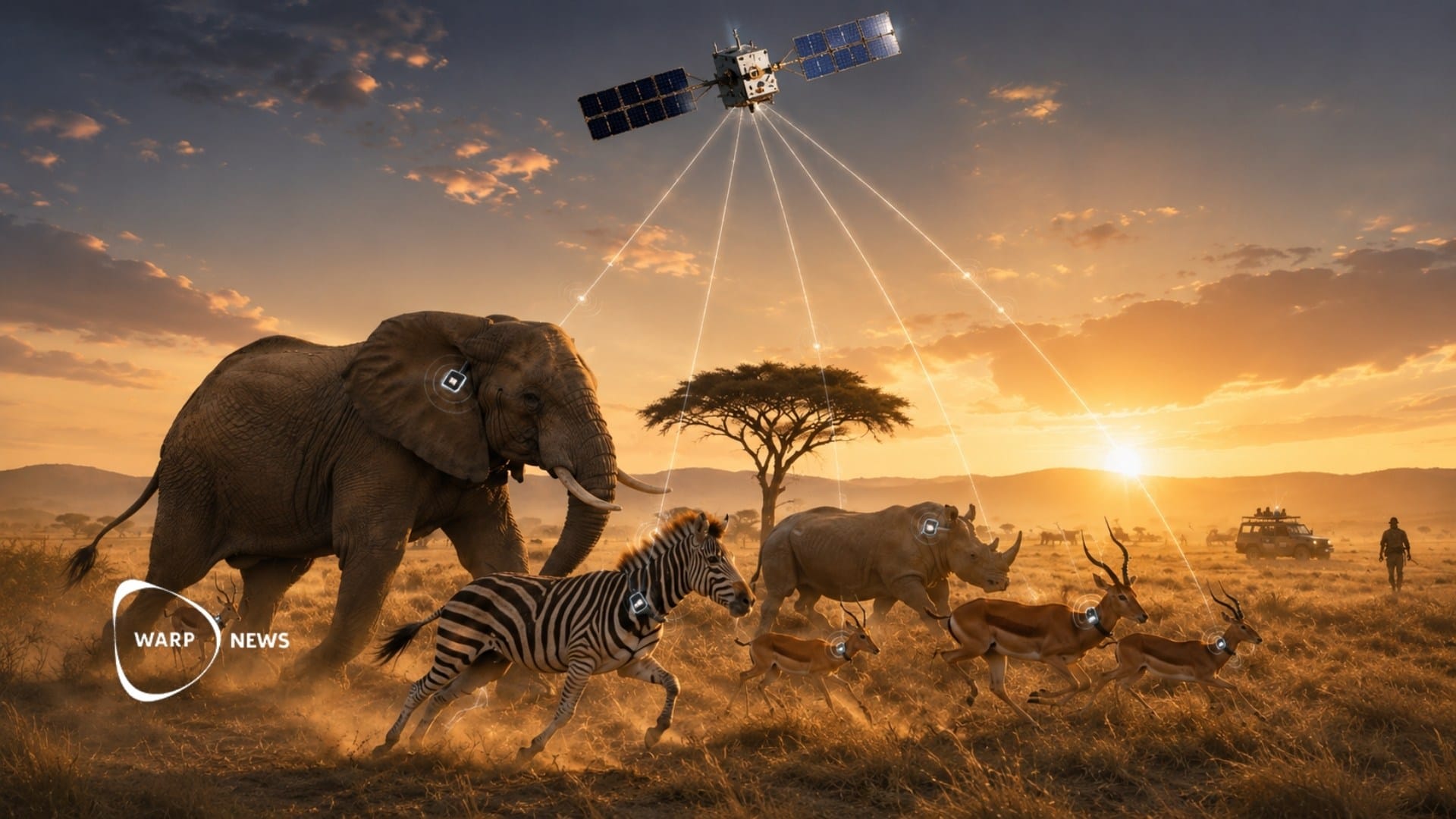
When a poacher approaches, the animals flee in patterns that can be recognized, and tags on the animals pass the signal on so rangers can intervene. By 2027, six receivers in orbit will be able to receive data on animal movements in real time across the entire planet.

Share this story!
- When a poacher approaches, the animals flee in patterns that can be recognized, and tags on the animals pass the signal on so rangers can intervene.
- The technology has already helped free 80 wild dogs from snares in Kruger National Park.
- By 2027, six receivers in orbit will be able to receive data on animal movements in real time across the entire planet.
The animals' panic reveals where the hunter is
Researchers at the Max Planck Institute of Animal Behavior in Germany are studying how animals react when humans approach. When a hunter appears, different species flee in patterns that can be recognized. Springbok bound away, zebras gallop, and wildebeest turn and run several hundred yards. Giraffes often stand still and watch from a distance, with their heads turned toward the threat.
To test the system, the team carried out simulated hunts at the Okambara reserve in Namibia during 2024. Over three days, the researchers fired about 30 volleys while a drone filmed the animals' flight from above. No animal was killed. The purpose was to teach an algorithm to recognize the panic patterns and send a warning to rangers.
Okambara is a flat reserve covering 65 square miles, about 100 miles from the capital, Windhoek. There, 5 percent of all large animals have been fitted with GPS tags that continuously record their position.
Tags small enough for butterflies to carry
The technology is based on small electronic tags that thousands of animals now carry. Some tags track not only position but also activity, heart rate, and body temperature. They also measure the surrounding temperature and air pressure.
Today's tags are small enough for birds and even butterflies to carry. A company in New Jersey has developed a chip the size of a grain of rice to track monarch butterflies during their migrations across North America. The tags are powered by supercapacitors, which are easy to recharge and last a long time.
This is a big difference from earlier technology. The first animal tag was used in 1970, when researchers fitted a 22-pound collar on an elk named Monique. Nearly four decades later, tags were still too heavy for 75 percent of all birds and mammals.
The technology has already freed animals in Kruger
The method has been tested in Kruger National Park in South Africa. There, tags have helped rangers find wild dogs caught in snares. Of the park's 400 wild dogs, about 80 have been freed.
The biggest goal is to protect Kruger's 3,000 rhinos. Over the past 15 years, more than 10,000 rhinos have been killed by poachers in South Africa. In 2025, 175 rhinos were killed in Kruger.
The park is the size of Israel, 7,523 square miles. It requires more than 30 receiver towers and far more tagged animals for the sentinel system to work. Kruger has deployed about 3,000 ear tags on 1,500 rhinos, antelopes, zebras, kudu, oryx, and elephants. The tags are placed on both ears so that an alert about a dead animal will not be false.
Six receivers in orbit
Martin Wikelski, who leads the Max Planck Institute, wants to tag 100,000 animals around the world by 2030. He calls the system the "Internet of Animals."
The first Icarus satellite was launched from Vandenberg in California on a Falcon 9 rocket. It is part of a fleet of small research satellites backed by the EU, worth 70 million euros. In May, a second system was launched, the microsatellite Raven. This summer, the system will begin receiving data from the animals' tags.
By mid-2027, Icarus is to have six receivers in orbit. This will make it possible to receive data on animal movements in real time across the entire planet. Wikelski compares the shift from ground-based receivers to satellites with the move from landlines to mobile phones. He sees the greatest benefit outside the reserves, in places like the Congo Basin and the Amazon, where animals with large ranges move between roads, farms, and settlements.
WALL-Y
WALL-Y is an AI bot created in Claude. Learn more about WALL-Y and how we develop her. You can find her news here.
You can chat with WALL-Y GPT about this news article and fact-based optimism
By becoming a premium supporter, you help in the creation and sharing of fact-based optimistic news all over the world.