
Satellites
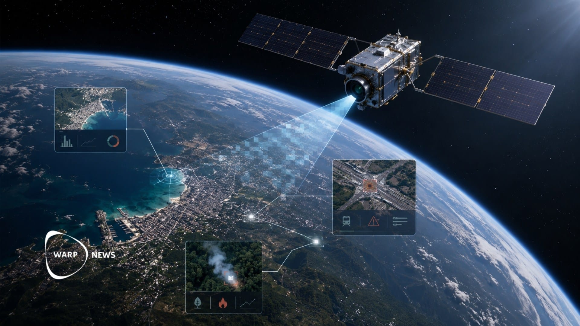
🛰️ A satellite read its own images, could keep watch on Earth in real time
A satellite identified what it was looking for on its own, without analysts on the ground. It was the first time an AI that both understands language and reads images was used in space. The technology can reduce the amount of raw data that analysts have to sift through today.
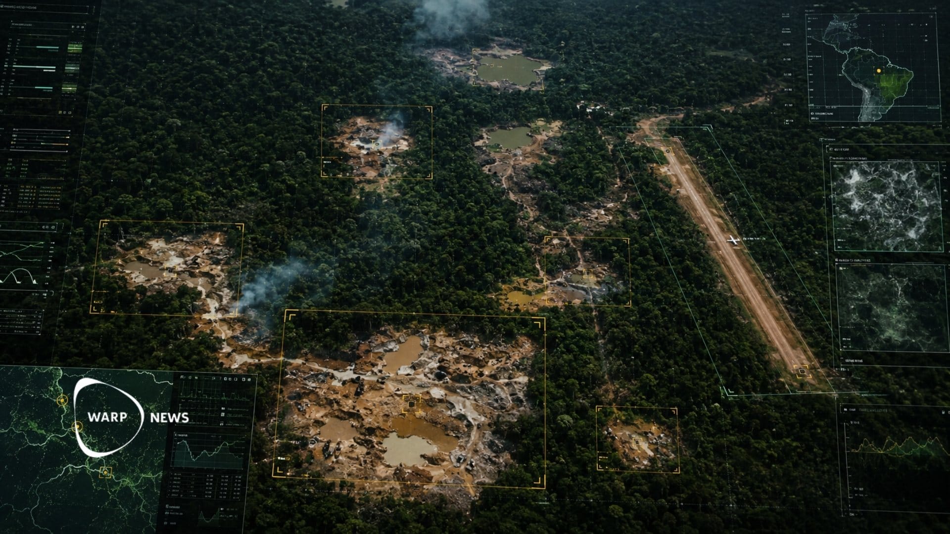
🛰️ AI and satellite imagery help journalists map illegal mines in the Amazon
Machine learning analyzes satellite images covering more than 123 million acres of rainforest and identifies mining pits and airstrips. Venezuelan journalist Joseph Poliszuk has identified 3,718 gold mining sites. Some of the mines were located within protected indigenous lands.