🌅 AI finds hidden streams and wetlands
Laser scanning and AI give us maps that mark streams and wet areas with much higher accuracy than before.
Share this story!
Anyone who has been out wandering in the woods and looked at a map may have noticed that streams and wetlands are not quite excellent or are completely missing. In fact, only 19 percent of these watercourses are excellent on Swedish terrain maps, but new digital maps will give us much better information.
That today's maps have problems with streams and wet areas in the forest is due to the fact that they are based on aerial photos. Where the forest is dense, it is difficult to see a small stream. But now SLU and the Swedish Forest Stewardship Council have produced new maps that use Lidar scanning .
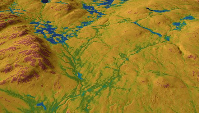
Lidar gives a much more detailed picture of the topography than aerial photos.
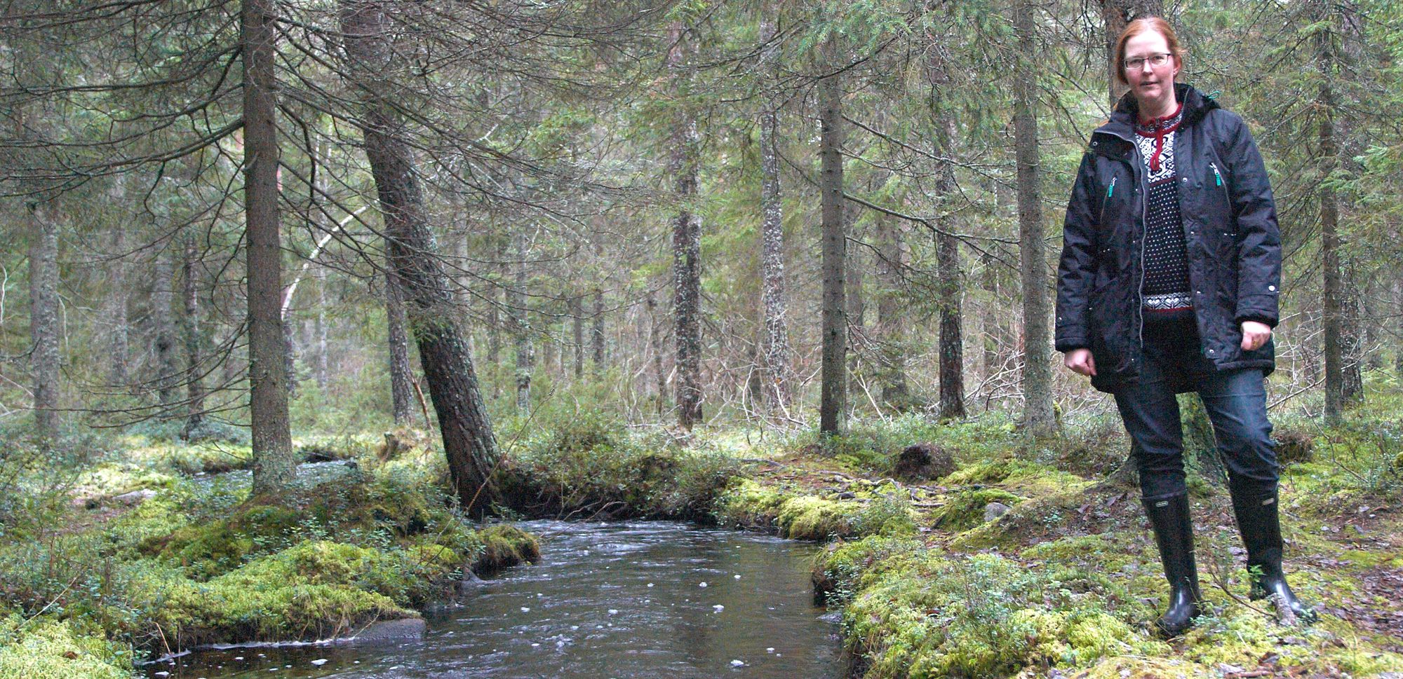
- The old maps show the landscape's arteries, but with the new technology we can also draw the capillaries. We can also place them in the right place, because in old maps a stream or river can be as much as 20-30 meters wrong in some places. It is not useful for, for example, forestry's detailed planning of protective edge zones by SLU researcher Anneli Ågren, who has led the project.
The only problem is that there will be such huge amounts of data. The researchers have divided the whole of Sweden into squares of twice two meters. To be able to analyze all these boxes, the researchers have trained an AI that has learned to identify where there are streams and wet soils.
- We can make this leap in technology now thanks to the whole of Sweden being laser scanned. With AI technology and training data with a very high degree of detail, we can calculate the slope of the ground and how the water flows in the landscape and thus map large and small watercourses and moist areas with much higher precision than before, says Anneli Ågren.
The result is that the new maps capture 56 percent of the watercourses and 79 percent of the wetlands. In the old terrain maps, the corresponding figures are 19 percent and 36 percent. A big step forward, but the researchers want to go further.
- With the new map in the phone, I can easily see if my mushroom trip requires boots or if it is enough with sneakers, but I am still not completely satisfied. The soil moisture map is of a high quality, but when it comes to watercourses, we intend to continue working, because we can reach beyond 56 percent, says Anneli Ågren.
Those who will probably benefit most from the new maps are those who work in the forest industry. When they know where there are streams and wetlands, it becomes easier to plan for edge zones and see how the machines can get to and from areas to be felled or planted.
Or the maps will mostly be used for something that does not yet exist. The maps are free to use , so maybe someone comes up with a completely new idea where it is important to know exactly what it looks like on the ground in the forest.
Illustration: William Lidberg
By becoming a premium supporter, you help in the creation and sharing of fact-based optimistic news all over the world.