🌍 Global Forest Watch can now see through clouds
World Resources Institute’s Global Forest Watch can now see through clouds and thereby track deforestation shortly after it occurs.
Share this story!
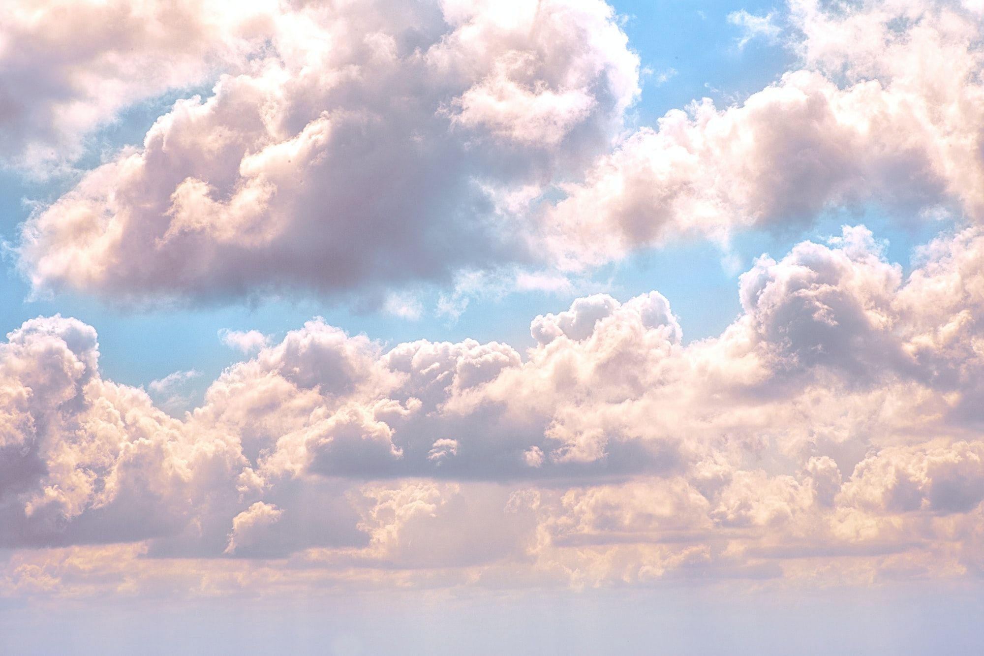
Global Forest Watch by World Resources Institute can now track deforestation shortly after it happens, even on a cloudy day. This new range of capabilities will improve efforts to monitor tropical deforestation. The software is very popular with citizen scientists (ordinary people without training as data or climate experts) who wants to do something to slow the illegal logging and deforestation. Global Forest watch allows people from all over the globe to help monitor deforestation whilst at home at their laptop. The app relies on a combination of human and artificial intelligence to oversee our planet’s forests.
Alerts from Radar for Detecting Deforestation (RADD) uses radar data from the European Space Agency’s Sentinel-1 satellites. According to a blogpost from Global Forest Watch’s Mikaela Weisse, the satellites cover the tropics every 6 to 12 days and therefore greatly reducing the delay generally associated with detecting deforestation that takes place under the cover of clouds.
“Optical’ sensors, like those on NASA’s Landsat satellites, can only capture images of the ground on cloud-free days,” Weisse writes in the blog post. “If clouds get in between the satellite and the ground, we have to wait at least eight days until the satellite makes a full orbit to try again at that location. In many rainforests, we may only get a cloud-free satellite image a few times a year, and those often only during the dry season.”
“The RADD alerts based on [Sentinel-1] data can reliably detect deforestation and other forest disturbances with minimal delays. Using RADD alerts, forest monitors will be able to react to deforestation sooner than ever, which will give them an edge in preventing further loss.”
The long-wavelength radio waves can also go through haze and smoke which provides insight on forest loss in areas otherwise inaccessible. This is a very important trait because vast areas in Southeast Asia and the Amazon can be covered by smoke and haze during their burning seasons. There, large scale forest damage is often caused by fires Mongabay writes.
Radar provides a more detailed image of forest disturbance than Landsat imagery. This enables detection at an earlier state. The Sentinel-1’s resolution is effectively nine times more detailed according to Weisse.
“This means that even tiny changes on the scale of just a few trees are detectable with the RADD alerts,” Weisse writes. “The increased detail of the RADD alerts means that we can now see the impact of that harvesting more clearly, which is critical information for those working to combat illegal logging.”
Now RADD is applied in 31 countries that account for the vast majority of tropical deforestation in Southeast Asia and Africa. That includes Indonesia, Malaysia, and the Democratic Republic of the Congo. Global Forest Watch says they intend to expand the geographic coverage in the future because Sentinel-1 data is accessible globally.
“RADD alerts are operating within Google Earth Engine, with sufficient computing power to perform global analyses,” writes Weisse.
Preliminary studies indicate, according to InHabitat, that the monitoring is making a difference. There has been less deforestation in some areas when people know their illegal actions are being watched. In the past, wrongdoers figured out that they could hide under the clouds coverage and cleared land when it rained, Weisse explains. Now, thanks to the new upgrades that won’t go unnoticed and the forests are a little safer.
By becoming a premium supporter, you help in the creation and sharing of fact-based optimistic news all over the world.