🌎 Satellite data to enable real-time tracking of all the world’s carbon emissions
The recently launched ‘Climate TRACE’ coalition is building a tool to track emissions worldwide. The tool is to be launched in time for the COP26 climate summit in Glasgow next year.
Share this story!
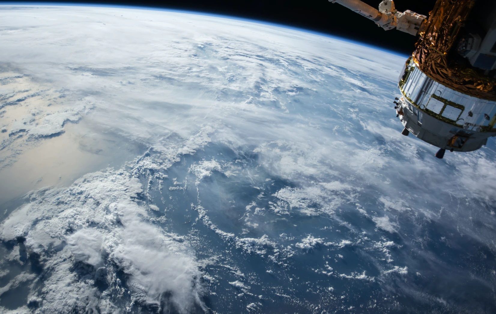
Leading emissions-tracking tech organizations have joined forces by creating the coalition Climate TRACE (Tracking Real-time Atmospheric Carbon Emissions) to provide real-time tracking of the entire world’s greenhouse gas (GHG) emissions as a service to be used in the fight against climate change. This will to a large part be done using data from Earth observation satellites. Today, satellites provide a multitude of different ways to track the effects of climate change on our planet from space, and satellites also provide effective means to detect and track greenhouse gases in the atmosphere – where they originate, where they move with the winds and so on.
The coalition consists of former U.S. Vice President Al Gore and the organizations WattTime, Rocky Mountain Institute, Blue Sky Analytics, Earthrise Alliance, Carbon Tracker, Hypervine, OceanMind, CarbonPlan and Hudson Carbon. Most of these organizations use satellite data to track greenhouse gas emissions from their respective areas of focus. With Climate TRACE, the aim is to combine their efforts to provide a global real-time tracking of all emissions worldwide – faster and more detailed than ever before. “Our first-of-its-kind global coalition will leverage advanced AI, satellite image processing, machine learning, and land- and sea-based sensors to do what was previously thought to be nearly impossible: monitor GHG emissions from every sector and in every part of the world”, write Al Gore and WattTime’s Gavin McCormick in an article announcing the initiative.
In practice, this will be done using an AI tool to combine the data from the different sources. This tool is what the coalition is now working on to create and release in time for the next major international climate conference – the COP26 climate summit in Glasgow in November next year.
To name a few examples of how the participating organizations make use of satellites: OceanMind uses satellite data to track movements of fishing vessels (and to detect illegal fishing), CarbonPlan provides carbon quantification in aboveground biomass by checking satellite data from monitoring forests, Carbon Tracker uses satellite data to monitor GHG emissions from power plants whereas Blue Sky Analytics uses satellite imagery to track forest fires. Hypervine and Hudson Carbon use satellite data to monitor quarries and fields used for agriculture, respectively. Satellites that provide this data are for example the European Copernicus satellites.
The coalition hopes that the availability of real-time global GHG emission data will ease the political negotiations on climate change by providing increased transparency and means for accountability, thereby fast-tracking the transition to a low-carbon economy worldwide.
“There’s an old truism in the business world: what gets measured gets managed,” writes David Roberts in an article on the subject on vox.com. “If the Climate TRACE coalition accomplishes what it has set out to do, global greenhouse gases will finally be measured — and there will be no excuses left not to manage them.”
To #ActOnClimate, we need to know exactly where pollution is coming from. @ClimateTRACE will give business, policy, and citizen leaders a cutting-edge tool to realize the economic and job-creation opportunities of the Sustainability Revolution.https://t.co/nk93BuohSx
— Al Gore (@algore) July 15, 2020
By becoming a premium supporter, you help in the creation and sharing of fact-based optimistic news all over the world.