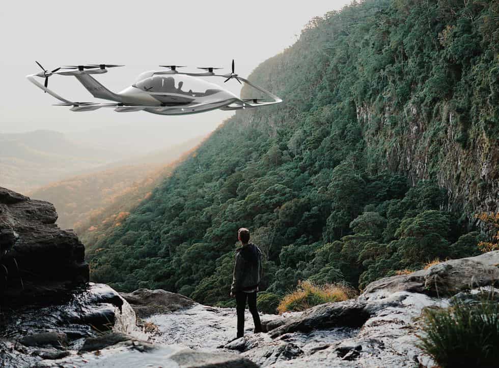
🚁 Drones are tested for critical societal functions in sparsely populated areas
EDIS is the project that primarily works to improve the conditions for community service and transport in areas with large distances and limited access to critical community functions.
Share this story!
The EDIS project, Electric aircraft and drones in the service of society, has gathered cutting-edge expertise in several areas for testing and development in drone technology and electric aircraft. It is primarily about improving the conditions for community service and transport in areas with large distances and limited access to critical community functions.
A focus area within the EDIS project is to use drones for functions in emergency operations in the event of accidents or in the event of danger in so-called blue light functions. Examples are car accidents, mountain rescue and avalanche search. The focus in this area is the flight speed.
The second focus area is to replace helicopters with electric aircraft and where range, environmental aspects and costs are the benefits. Examples of such assignments may be review of forest stands, assessment of avalanche danger and sea conditions, storm damage affecting infrastructure and forest fires.
The project includes several interesting initiatives.
The Swedish Civil Aviation Administration, LFV, which has built a test arena, LARC , which will be completed in 2021 at Örnsköldsvik Airport. LARC, LFV Aviation Research Center, will offer test opportunities for collaboration between industry, academia and society in the areas of airport operations, electric aviation and airspace issues. LFV is today a leader in air traffic control for civil and military aviation in Sweden. LFV was the first in the world with long-distance air traffic control and drives digitalisation in several areas.
Katla Aero, which develops and delivers the project's drone platform, developed for high cruising speed and long range. Katla Aero is also developing an electric plane that can take off and land vertically but then flies as usual, with two propellers.

Flypulse, which develops and sells a cloud-based platform for coordinating, controlling and managing a UAV fleet.

Guideline Geo, which supplies an airborne ground radar system (GPR) for the collection and interpretation of geophysical data.

LTU, Luleå University of Technology, adds expertise in modeling, simulation and design of control systems for autonomous flying vehicles through the research subject Robotics and Artificial Intelligence at the Department of Systems and Space Engineering.
Åsele Näringslivsstiftelse and Åsele Municipality, want to contribute to development that will lead to a more sustainable society. The goal for Åsele municipality is that the project will stimulate, support and drive development and cooperation around electrification of aircraft and drones and increase employment and growth in the locality and regionally.
By becoming a premium supporter, you help in the creation and sharing of fact-based optimistic news all over the world.