🌋 Drones will help us predict volcanic eruptions
Specially modified drones make it possible to measure the carbon dioxide that distant volcanoes emit and thus get better forecasts for when an eruption may be on the way.
Share this story!
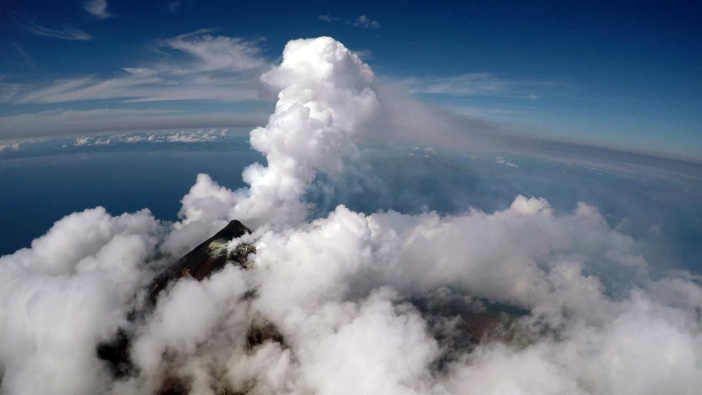
An international research team has developed a method to get better forecasts of when a volcanic eruption may be underway by using special drones. The special thing about the drones is that they are equipped with sensitive gas sensors and spectrometers and that they can fly several kilometers away from the position of the drone pilot.
This combination makes it possible for researchers to make measurements directly over very inaccessible volcanoes. Getting close to the volcano is important because otherwise it can be difficult to determine what comes from the volcano and how much of the carbon dioxide is naturally present in the atmosphere in the area.
The drones that the researchers have modified have now been tested and are able to fly six kilometers away from where the drone pilot is. They can also fly at an altitude of two kilometers. It is enough for them to be used at many of the world's inaccessible volcanoes.
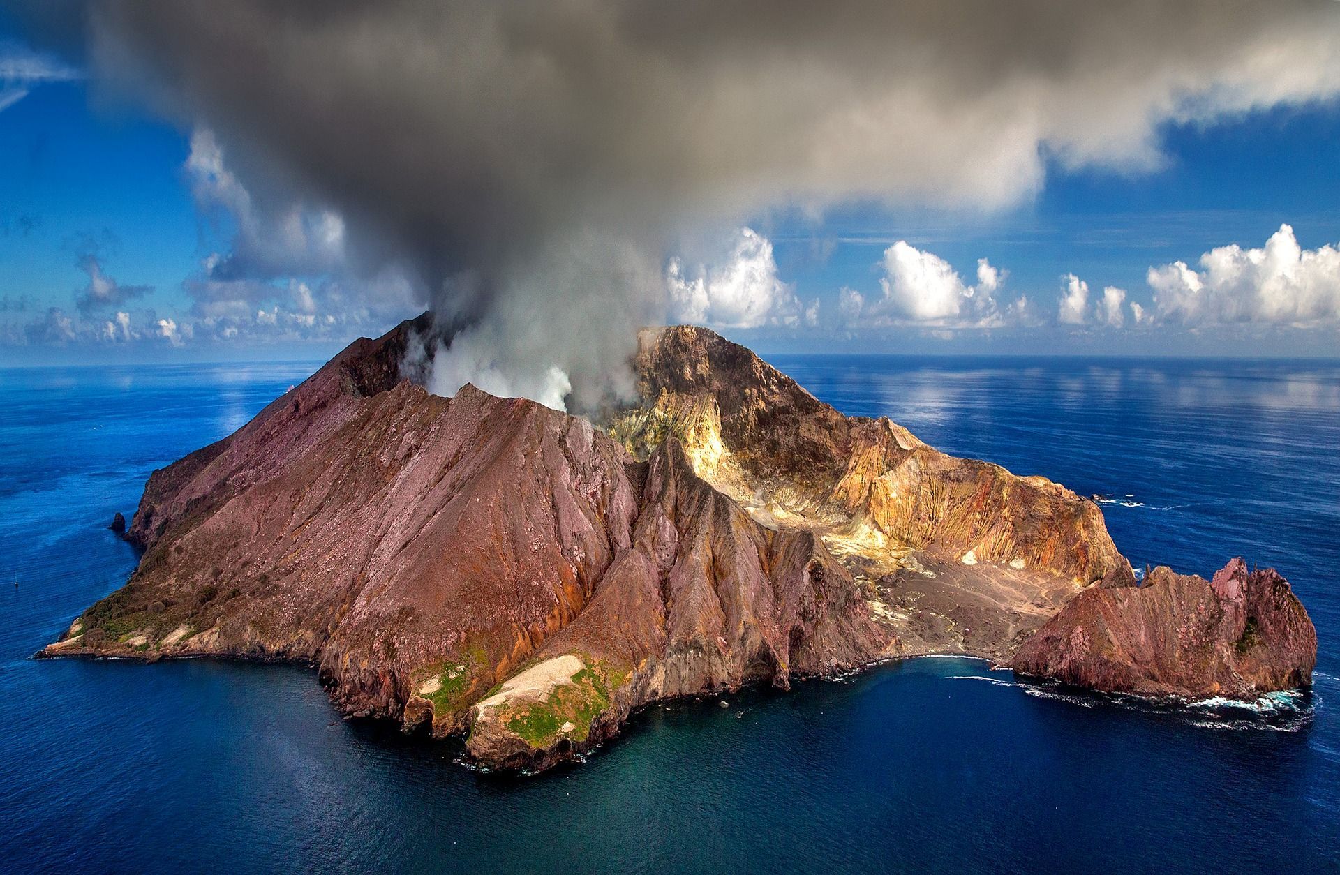
The first volcano that the researchers investigated with this method is Manam. It is located on an island in Papua New Guinea. When Manam had an outbreak in 2004, 4,000 people had to flee headlong. In the future, the population will now be able to receive more warnings.
- Ten years ago, we could only look and guess what Manam's carbon dioxide emissions were, says Professor Alessandro Aiuppa at Palermo University and co-author of the study.
The researchers have also collected money so that the local population can afford to buy computers, solar panels and other equipment that gives them better opportunities to communicate with the mainland. In addition, staff at the Rabaul Volcanological Observatory in Papua New Guinea have been trained to fly the drones.
In addition to helping researchers predict volcanic eruptions, the method also provides climate data with better data. How volcanoes emit carbon dioxide can give us better knowledge of how carbon dioxide is transported below the earth's surface.
- We wanted to quantify carbon dioxide emissions from this very large source of emissions. We have very little data regarding the profile of colisotopes that can show whether the source of the carbon dioxide is in the earth's crust, mantle or sediment. We want to know where the coal comes from, says Professor Tobias Fischer at the University of New Mexico and co-author of the study.
By becoming a premium supporter, you help in the creation and sharing of fact-based optimistic news all over the world.